Wednesday, November 15, 2006

Red, White and Blue Beach in Calif to be sold
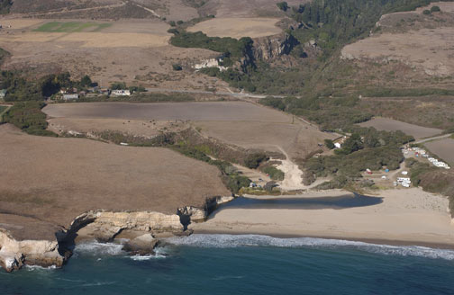
Red, White and Blue Beach owner throws in the towel


SANTA CRUZ — It's a tough job overseeing a nude beach, and after 41 years, the owner of Red, White and Blue Beach says it's time to throw in the towel and sell his property.

Ralph Edwards, 83, and his wife Kathleen raised their five children in the white two-story house that sits on 170 acres above the beach off Highway 1, six miles north of Santa Cruz.

The clothing-optional beach has been host to visitors from all over the world who come to bronze in the sun, camp overnight and fire up a barbecue pit.

"You can go any way you want, it's clothing-optional," Edwards said while walking his dog, Spike, on the deserted beach.

But Edwards, who says he isn't a nudist, is ready to go his own way.

"It's too much work for me," he said, a pair of tinted glasses and a "Nude Expert Quality Control" baseball cap blocking the sun.

He purchased the land from the Scaroni family in 1965 without a plan but with a bunch of ideas, from building condominiums to opening a mobile home park. He teased about running a nudist operation.

He even threw around a few unofficial names, like Skinnydipper's Paradise, that he can't help but laugh about as he remembers them today.

It turns out a nude beach was the only plan taken seriously by the county.

"I couldn't get permits for anything else," he said.

He said his wife, who is living with Alzheimer's disease in a care facility in the city of Santa Cruz, at first didn't care much for the idea of a nude beach. But it grew into a family business that has attracted 60,000 people a year, mostly tourists from San Jose and the San Francisco Bay Area.

"Nude people don't want to be close to home doing that scene," he said, noting locals account for roughly 6 percent of his customers.

Some members of his family don't like to hang out at the beach, either.

"Some of them don't like to be associated with something like this," he said. "That's their prerogative."

But the pristine beach gets plenty of attention through nudist publications and the Internet. It's on the Travel Channel's top 10 list of best nude beaches in the world — the only such beach in California to be revealed.

Santa Cruz resident Toby Gray, a frequent visitor to the Red, White and Blue, said he and his wife have been enjoying the beach for many years. They've always gone back because of the family-friendly atmosphere, he said, and to hear bands play around the campfire.

"The whole campground would fill up," he said.

A few hard-core nudists would bare it all, he said, but most people in the camping areas wore a wrap or sarong. Down on the beach, most people laying out don't cover up.

"It's always been very safe and friendly there," he said.

The private setting is a big reason people feel comfortable at the beach, Edwards said.

"I was real lucky to have something like this," he said.

While refusing to name a price for the property, saying he prefers to sell it privately, he said the next property owner can live the life of a movie star, and make it their own private estate, as he has since 1965.

"Except I got these naked people coming into my backyard," he said. "Yes, it's funny when you think about it."

Contact Soraya Gutierrez at sgutierrez@santacruzsentinel.com.

Tuesday, November 14, 2006

Some Nude Camping Basics: Food

Camping au'natural takes several forms such as:
  • Car Camping which can be as involved as setting up camp right beside an RV Motor Home or loading up the car with camping supplies. You are usually restricted to wherever you can park your vehicle and setting up camp nearby in established campsites or road accessible locations. The advantages to car camping is the freedom to bring along the elaborate equipment . . . from huge multi-person family tents, coleman stoves, chairs . . . to all the comforts of home. The disadvantages are that you often must set up camp in areas where there are multitudes of other maybe not-as-like-minded people throwing privacy and any thought of relaxing in that camp chair naked, out the window (or tent flap as it is).

  • Canoe Camping is one step closer to a purer form of camping in that you can paddle your canoe to more remote areas that often are not accessible by car. The equipment you can take is only limited by the space available in the canoes and a bonus is that canoeing can be a relaxing endevoir with lots of opportunities to enjoy it in the nude once the car-bound enthusiasts are left behind. You can relaxed and enjoy the scenery at an easy pace and pick a spot to camp far away from the crowded campgrounds.


  • Food, shelter and comfort. All must be carried in on your shoulders.


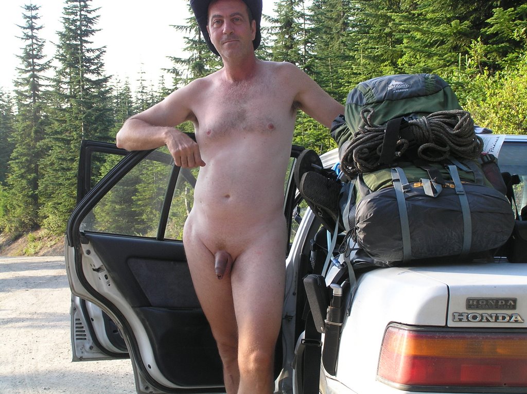
  • The third form of nude camping, Nude Backpacking (or NudeBacking) is what I like to do. It takes reasonable fitness to carry a 40-50 pound backpack miles into the wilderness, often negotiating narrow trails and changes in elevation but the pay-off is some of the most spectacular vistas around and a sense of achievment to go where few people ever attempt. Solitude is the byword of the backpacker on the more remote trails and the freedom to hike as nature calls . . . nude. The disadvantage, of course, is that you have to carry shelter, food, and everything else you might need, on your back.


The Basics

Regardless of the type of nude camping you like to enjoy, you need to address the following:
  • Food and water,
  • Shelter,
  • and Sanitation

Your food and shelter you bring with you. Your sanitation may be provided (as with a commercial campground), may be brought with you in the form of a chemical toilet, solar shower, etc., or properly improvised on site.

Food
Food may be as elaborate as you want it. Only your cooking abilities, the method and the ability to bring it along and safely store it determine what is on the menu. Car or RV Campers may bring lots of items and they often have the refrigeration or ice chests to preserve perishable foods. Or you may camp near prime fishing grounds and enjoy the sizzle of freshly-caught trout in the fry pan. Many of the fish-barren alpine lakes high in the wilderness of the Cascades are helicopter-seeded with non-native trout species for the benefit of campers. One of my favorites is Joan Lake at the end of the Johnson Ridge Trail.

If you have to backpack all your food in with you, perishability and weight become important considerations. All camping outfitting stores carry the freeze-dried, complete meal in a bag and if you are flush with cash it is one way to go. But I find that I can put together a well-balanced meal out of cheaper alternative rights off the supermarket shelf . . . and keep the weight and volumn off my back as well.

Backpacking is a strenuous activity and requires a large caloric intake as opposed to relaxing in a lawn chair at a organized campground. My resting caloric intake is right around 1,500 calories a day yet when I backpack I find that I'm burning 2,500 to 3,000 calories easily. Most of that is exertion but an appreciable portion is due to the nudity as I hike and the need to replace body heat. You may not feel it but perspiration will quickly lower your body temperature and that is when you'll appreciate the reserves of energy required to prevent hypothermia.

Food intake has to be balanced between sugars, carbohydrates, protein and salts.

  • Sugars are the instant energy sources, quickly absorbed into the blood stream and providing the energy to move your muscles in the short run. Most of our sugar needs can be provided by snacks such as trail mix, energy bars or a simple Snickers bar. Sugar is used rapidly when you are exerting yourself and it is important that you have reserves to take over as your blood sugar levels drop or you'll experience the nasty symptoms of hypoglycemia and a dangerous drop into severe exhaustion. For a quick boost of sugar levels, I carry a small packets of runner's gel, which is a mixture of fast-absorbing glucose, longer-lasting carbs and essential electrolytes in a variety of flavors (try the banana-strawberry. Runner's gel can be purchased at most sports and nutrition shops. They are easy to suck down as you hike and quickly restore alertness and energy until you can properly eat a carbohydrate-loaded meal.

  • Carbohydrates are our longer-term energy reserves and are more slowly absorbed and then released into the bloodstream as we need them. We've all heard of carbohydrate-loading by marathon runners and the ilk before a big competition. It works. Carbohydrates are stored in our liver and released as glucose (sugar) in response to our changing blood sugar levels as we need them. Pastas, breads and cheeses are excellent sources of carbohydrates.

  • Proteins are the structural elements of our bodies. Exertion conditions us and builds muscle and protein is a necessary component of that newly-bulked-up muscle as well as any celluar repair that needs to be done. Proteins are also a necessary component in the smooth functioning of our metabolism and adjustment to stress. Protein-rich foods such as tuna, peanut butter, beans and protein-rich energy bars also provide a source of additional sugars and carbohydrates as well as trace minerals our body requires. Don't go overboard of proteins though. Excessive intake of protein is difficult to digest and can commonly induce intestinal cramping when you are exerting yourself heavily on the trail. Proteins also breakdown in amonia-like waste products that have to be secreted in the urine. A craving for water beyond what you really need is often attributable to excessive protein intake.

  • When you backpack, you are going to sweat no matter what the temperature outside is. And when you sweat, you are dumping a lot of your essential salts along with the perspiration. If you were a football star you could simply go over to the sidelines and gulp down GatorAide. But on the trail you don't have that luxury. Salt is usually replaced in the foods you eat but that is not enough on the trail when you are sweating quarts of water a day (and more so if you have a heavy protein-load to remove). I approach salt-loss in several ways. My immediate water source on the trail is from bottles of GatorAide (or a similar electrolyte-replacement drink). I carry packets of salt-replacement powders to make up a fresh batch for the next day's use. In extreme exertion and very hot weather, I carry a small supply of salt tablets. Trust your body and when it craves salt, take that as a warning sign and replace the salt loss. The alternative is heat exhaustion and perhaps severe diarhea and that is serious on the trail away from emergency help. I carry one packet of rehydration therapy powder for such emergencies.
There is nothing like sitting by a campfire after a long day of hiking.
A campfire also dispels those things that go 'bump in the night'.


Plan your meals for the number of days you are going to be on the trail . . . plus one or two extra days just in case. Here is an example for a typical three day backpacking trip:

Day One
Breakfast: Prior to the hike, carbohydrate loading. A good breakfast of pancakes, syrup, hasbrowns, juice. Go easy on eggs if you are making extreme altitude changes as they can produce painful bloating and gas.

Lunch: A packed lunch. Eat the sandwich you made now as it is perishable. If I have time I will set up my stove and prepare some Top Ramen soup with noodles and a cup of coffee. I like to add chunks of Tillimook Beef Jerky chunks to my soup for protein and texture.

Dinner: After you've set up the tent and secured your water supplies, make yourself a protein-rich meal. I like the sealed mylar pouches of tuna you can buy in the store, mixed with a packet of mayo and relish (I stock up on these packets everytime I vist a McDonalds or Burger King) and spread over an unleavened flat bread like Biboli which stores well. A cup of hot chocolate (powder packets) and relax and enjoy the sun going down.

Day Two
Breakfast: Pancakes and Syrup; Coffee. I've preportioned instant pancake mix in baggies, I have a small plastic bottle of butter-flavored pancake syrup, and a small aerosol can of butter-flavored pan spray.

Lunch: I'm in my stride now, having filled a trail thermos with coffee, I sip as I hike and snack from the trail mix or the beef jerky. The trail bars I eat in mid afternoon to keep me going.

Dinner: Chilli. Staggs packages chilli in mylar pouches and I can simply drop one in boiling water. Some crackers and I eat it right out of the opened pouch. The boiling water goes to my cup of hot chocolate (or coffee).

Day Three
Breakfast: More pancakes and coffee, not forgetting to fill the thermos as well.

Lunch: Trail Mix and energy bars as I hike.

Dinner: Back at the trailhead and once I've cleaned up and massaged my sore feet back to normal I'm headed for Burger King for their largest bacon-cheese burger and a large order of fries. I've earned it.

So what did I have to carry in for three days and one backup emergency day? It breaks down to a couple of ounces each of instant coffee, sugar and creamer; six ounces of instant pancake mix in a baggie, 4 ounces of pancake syrup, a 4 ounce can of pan spray, one 4 ounce pounch of tuna with a couple of single-serve packets of mayo and relish, one Biboli bread, a four ounce packet of Tillimook Beek Jerky Chunks, a couple of Ramen Top Noodle Instant Soups, one 6 ounce packet of Staggs Chilli with a few crackers, an eight ounce bag of Trail Mix and four Energy Bar for snacking on the trail, and two packets of instant hot chocolate mix. An emergency reserve of one tuna pouch and a couple of extra hot chocolates rounds out the food I carry in. Total weight under four pounds.


A four-season tent like this MSR model packs
in at six pounds including all the hardware.


Next Installment: Setting up camp and staying nude and warm . . .

Did you get dressed up for a Nude Halloween party?

Interesting post in one of the local nudist forums that asks what is appropriate and inappropriate to wear to a 'themed' nudist event:

Does anyone know if AANR has any official standards about what is prohibited "sexual attire" at nudist gatherings? I'm asking because this question was a topic of discussion at an un-costume/Halloween party I attended recently at a resort to which I and my fiancee belong.

At some naturist events (especially dances or parties with a theme) I like to wear a top or skirt at dinner but have been "chided" for doing so by one of the other members (not the hostess). I am very discreet in my behavior whether or not I am partially or completely nude and found this attitude towards my desire to wear something festive puzzling. I was NOT dressed in apparel from a lingerie catalog -- my costume was sheer and it was feminine but that does not seem to make it overtly erotic to me.

What do you think?

Saturday, November 11, 2006

Big list of road washouts (WTA Post)


Posted by: Andrew Engelson at 4:27PM on Nov 10, 2006 in the Washington Trails Association blog
Filed under: Hiking News

log jam at Ohanapecosh


First, Mount Rainier National Park has some incredible photos of road and trail damage on their website, and it's not pretty.

Here's an incomplete list of reports we're getting of road washouts as of Friday, Nov. 10:

Mount Baker Snoqualmie National Forest
FS 63 North Fork Skykomish: washout at 6.5 miles
FS 6330 Tonga Ridge Road: washout at milepost 1.6.
FS 15 Cascade River Road: washout at milepost 21.5.
FS 42 Mount Pilchuck Road: inaccessible
FS 25 South Suiattle Road: bridge washed out beyond the junction with FS 26 (Suiattle River Road)
FS 26 Suiattle River Road: a new washout is 2.2 miles from Boundary Bridge (the old washout from the 2003 floods is at 12.2 miles)
FS 28 Stilliguamish River Road: washout at 10.7 miles
FS 6554 Evergreen Mountain: closed by washout
FS 56 Mid Fork Snoqualmie: flood damage at milepost 15.
FS 9030 & FS 90310 Mason Lake/Talapus: closed by flood damage
FS 74 West Fork White River: closed by flood damage

The Mountain Loop Highway is now apparently open from Verlot to Barlow Pass, and is open on the Darrington side as well.
State Route 542 (Mount Baker Highway) is still closed east of the town of Glacier.

Gifford Pinchot National Forest
FS 23 Trout Lake-Randle: closed at 0.8 miles beyond junction with FS 90 because of a washout
FS 2329 Taklakh Lake: washout beyond Keenes Horsecamp
FS 60 closed at Goose Lake
FS 83 (road to Marble Mountain Sno-Park) washed out beyond junction with FS 81
FS 99 to the Windy Ridge viewpoint, Mount St. Helens National Volcanic Monument, is closed because of flooding beyond the Cascade Peaks viewpoint

Olympic National Park

Hoh River Road washout

Hoh River Road: closed at junction with US Hwy 101 because of a major washout
Quinault North Shore Road: closed east of Finley Creek bridge, which was damaged by flood
Quinault South Short Road: closed by debris .5 mile east of the park boundary
Hurricane Ridge Road: closed due to icy conditions
Mora Beach Road: closed by blowdown, crews hope to have opened by this weekend
Dosewallips, Staircase, and Queets roads continue to be closed from previous fires/floods

Mount Rainier National Park
Nisqually Road: a .25-mile section of the road is damaged and impassable
Sunshine Point campground: destroyed
Longmire: back parking lot gone
Carbon River Road: road washed out
Ohanapecosh: the "road is no longer flowing into the visitor center," which is good news
SR 410 is now open

Obviously, this list doesn't include trails. Rangers are still out in the field, and many places are inaccessible. If the floods of 2003 were any indication, it will probably be a good month before we get solid reports of trail damage, and the full scope won't be known until melt-out next spring. But it isn't looking good.

Photo of log jam on the Ohanapecosh River by Mike Gauthier, NPS.
Photo of Hoh River washout courtesy Olympic National Park.

Thursday, November 9, 2006

Cold Weather Hike: Iron Goat Trail

Today we got a break in the nasty rain and winds of this most recent storm front. Since I had the afternoon off I headed up to the mountains, not really intent on a nude hike but most interested in seeing what damage, if any, had occured at Scenic Hot Springs.

Scenic actually fared rather well with just moderate erosion to the road and trail surfaces. As expected, the springs sources were way low bringing the pool temperatures down to 91F and 80F. A tepid soak at the least. I passed up on the opportunity . . . but I did not pass up on the opportunity to hike back down to my car nude. Fortunately, unlike the last time, the winds were nonexistant and I had a pleasant hike. However, forty-five minutes nude was not enough.

Across the valley snow was very evident on the slopes of Windy Mountain so I drove back down SR2 (naked of course, but with the heater going full blast to rewarm me up) and was soon on my way to the upper, Horseshoe Tunnel Trailhead for the Iron Goat Trail. I got lucky: no cars, therefore no one hiking the Iron Goat.

The Iron Goat Trail is the old railbed of the Great Northern Pacific (affectionately called the Iron Goat) switchback route over Stevens Pass before the present-day Cascade Tunnel unnecessitated such a torturous route up over the mountains. Today it serves as an easy historical hike with three trailheads (the most recent across the highway from the town of Scenic ready to open next season as an interpretive center). The other existing trailhead is the Wellington Trailhead some nine mile away on the other side of Windy Mountain.

With such distances you can almost be assured of solitude as most visitors only do a portion of the inbound trail from a trailhead. With the Wellington Trailhead inacessible and the Scenic one not open yet, I knew I had the Iron Goat to myself. Four miles to Windy Point Tunnel and back . . . three to four hours. Standing outside my car naked (except the hiking boots) I check the temperature gauge. 36-37 degrees. Iffy. I would be hiking back in dusk and the temperature was going to drop. There's crisp snow on the trail behind me. I check my pack . . . extra clothing, gloves, hat, lots of hand warmers. My metabolisim is up and I feel warm and comfortable, especially with the pack slung and taking the chill off my spine. Keys secured in my pack this time. I pick up my thermos of hot chocolate and my hiking staff. The only thing missing is the camera but you can live without naked pictures of me for awhile, can't 'cha? I set off at a comfortable pace down the boardwalk of the trail.

In half a mile I take the turn to the upper railbed. Lesser used and more interesting. I want to get high and into the snow. the weather actually cooperates for once. No wind. No rain. No snow. The sun is playing hide and seek behind the puffy cumulus clouds sticking to the sides of mountains all around. Already the temperature is down a couple of degrees. I must be getting used to the cold. Even standing around, admiring the views, I feel no chill . . . no shivers. The skin over my ribs actually feels warm! I'm really pumping the heat out. In under an hour and a half I make Windy Point, and yes, it lives up to it's name . . . it's windy on the shelf of this exposed point. Highway 2 and the Burlington Northern railway tunnel-staging area lie a thousand feet below me. As happens every time I come to this scenic lookout point, the exhibitionist in me comes out and I just stay there in all my naked glory, just daring the far-away traffic to see me. Of course, they can't. Too far away. But it's somewhat empowering to be able to do that.

Eventually, I do notice the cold and step back into shelter. My temperature guage says the air is around 32-33 degrees. Freezing point and the three inches of snow beneath my feet is crunchy. The return trip is going to be in colder temperatures so I do the body check thing, pale, waxy skin . . . nope. All is healthily rosy pink and warm to the touch. Fingers fine. Same with toes. One part dangles, exposed, but is feeling okay. Time to head back because it's getting darker by the minute.

The hike back is even better because I take my time the closer I get to the trailhead . . . cramming as much nude time in as I can. Who knows when I get another suitable day for nude hiking like today. It takes me almost the two full hours to make it back to the car and I'm surprised that no symptoms of hypothermia have manifested themselves. I feel great . . . that is, until I sit down in my car and turn the heaters on. The shivering went on for long minutes before I could dress and start the drive home. Even so, I felt a chill for the better part of the next hour. But I also felt wonderfully alive.

Oh, by the way. I bought a new wool cap before this hike. Hunter orange just so those thousands of stranded hunters out there don't take me for a deer or something.

Wednesday, November 8, 2006

Flooding, Rivers and Hot Springs Alerts

This seasons wicked rain storms and the resultant flooding of rivers warrants caution if you plan on visiting a hot spring.

Goldmyer Hot Springs: To reach Goldmyer Hot Springs you have to ford the Snoqualmie River. Normally this is a thigh-deep ford. I would gamble that any attempt to ford the river near the hot springs is a death trap. There is a footbridge further up the river but I am uncertain of it's condition with these river levels. The Snoqualmie is running at record levels and doing all sorts of flooding downstream. I haven't heard anything on the condition of the Middle Fork Road but minor rains last year caused a lot of sinkhole problems. I expect they will be repeated this year. Check with the Goldmyer web site (or call (206) 789-5631) to get the latest updates on Goldmyer HS. Update Nov 10th, 2006: FS 56 Mid Fork Snoqualmie: flood damage at milepost 15

Olympic Hot Springs: Snow just about at the hot springs level. Olympic Hot Springs Road is closed at the Elwha entrance station due to flooding. Call the Port Angeles Visitor Center for updated information: Visitor Information Recorded Message (360) 565-3131, Option #1, Road Conditions.

Baker Hot Springs: No information but rains were heavy to the east of Bellingham. Expect damage to the Forest Services roads.


Scenic Hot Springs: Closed/Private Property. Snow above 3,000 ft. Rock slide hazards because of water saturation, springs running cold due to the amount of rainfall.


To give you an idea of how bad the rivers are . . . the Skagit River is running over 120,000 cubic feet per second, while the mighty Columbia River averages about 100,000 cubic feet per second. That kind of puts it in perspective.

O
fficials of the Mount Baker Snoqualmie and Olympic National Forests urged visitors to stay away over the next 3 days. Most areas of Mount Rainier National Park, including SR123 at Cayuse Pass, are now closed. The North Cascades Highway, the Mount Baker Highway east of Glacier, and the Mountain Loop Highway were all closed. For updates on road closures and breaking flood information, visit KING-5's flood news wire (registration required) or WSDOT traffic advisory site here. NOAA flood warnings are here.


Oregon has also received a large amount of rainfall. The Clackamas will be swift and raging. Austin (which is posted Private Property) is not accessible. In any case, the source of Austin Hot Springs is within the river bed. You'd be a fool to risk wading out into a flooding Cowlitz to rebuild a soaking pool at this time. Likewise, Bagby HS may be a no go due to road flooding and rockfall hazards.

Finally . . . on the local news tonight. The Coast Guard is in the process of rescuing thousands of hunters stranded in the national forest near Randle because of this storm. I had no idea there were so many people running around with guns in such a small area of the National Forest. Gives me the willies to think about hiking nude with that many hunters around.

Sunday, November 5, 2006

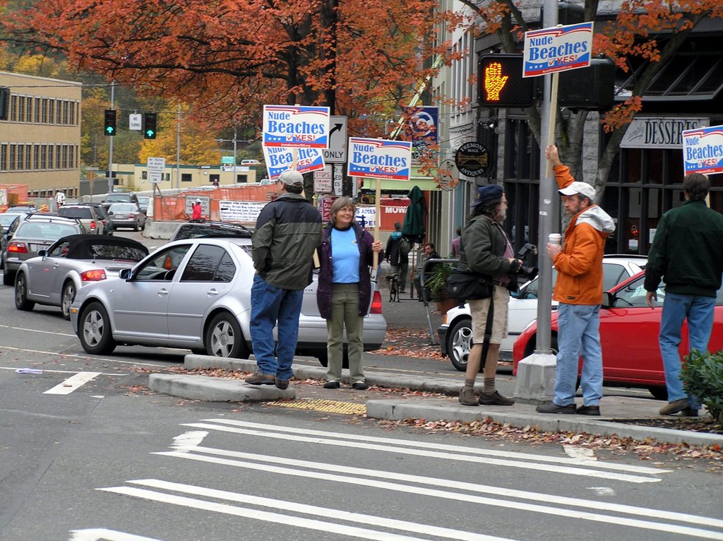
Nude Beaches YES sign waving this Sunday

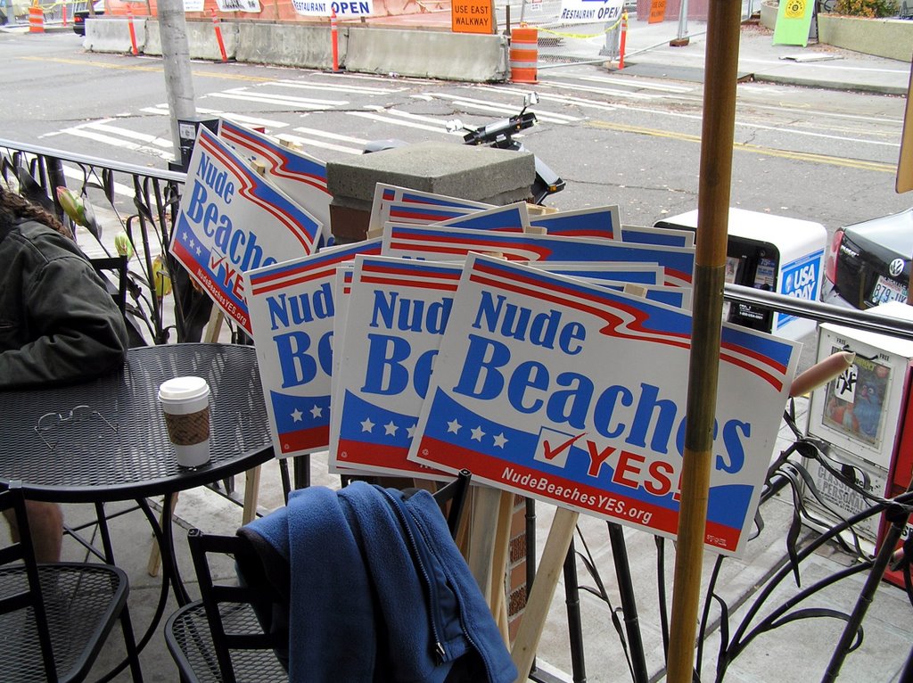
Nude Beaches YES! Meeting for coffee at Peet's.


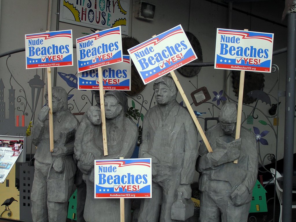
Definitely support in Fremont


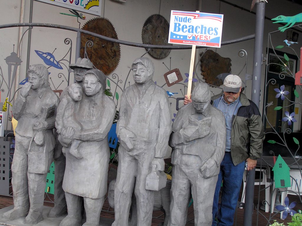
Hmmm, an extra statue here.
Wonder who put the SLUGS cap on it?


Standing on the corner,
Watching all the cars go by . . .


The one thing that strikes me every time I participate in an advocacy event that brings me into contact with the general public is that a very large majority do, in fact, support some of the objectives we are striving to obtain . . . once those objectives are brought to their attention and awareness. That was certainly the case with the friendly reception we received in Fremont this Sunday as we took up our signs and made sure a drizzly rainy day in Seattle had some excitement.

In Fremont you expect the eclectic and an acceptance of diverse ideas . . . and that we certainly received from almost everyone we passed. Especially the young adults, male and female both, who were in a hurry to pose with us, holding the signs. Mark brought along quite a few signs . . . he should have brought more because couples took up signs and went off displaying them elsewhere. Encouraging!

Fremont is also a major arterial between very conservative Ballard and downtown Seattle. A lot of those late model SUVs passing through from Ballard honked (which set of a cascade of honking) and gave us very smiley thumbs up gestures. These people couldn't look more suburban and conservative. At the very least we gave them a moment of levity . . . at the best, the nascent awareness and food for thought . . .

Saturday, November 4, 2006

Goldmyer Hot Spring: Footbridge Construction Has Begun

From: Beth (representing Goldmyer HS)

November, 2006. Construction of a new footbridge that will cross the Middle Fork River has begun. It will span the river close to where visitors to Goldmyer have been fording the river for decades. Construction will ideally be finished by spring, but the winter weather might influence the timing. Once the footbridge is completed, the Forest Service will close the new gate at the Dingford trailhead, about 4 miles before the new bridge. Time to get your mountain bikes into good working order! (and remember that we all really do need to get more exercise!)

During construction, the 'lower parking lot' close to the river will be closed. Everyone must park off to the side of the road at the top of the 'driveway', and walk down to the river. Please park in a 'nose-in' manner to allow more vehicles to fit.

For the time being, if the river is too deep to wade thru, visitors can use an existing footbridge that is located farther up the road. Find it's trailhead about 2 3/4 miles beyond the river ford. It's marked by a small sign on the right hand side of the road, "#1003 Middle Fork Trail". From the trail head, it's about 1 mile to the footbridge, and two miles beyond the footbridge you will intersect with the trail that leads away from the river and up to the Goldmyer property and Caretaker's cabin. During the rainy/winter/snowmelt months the river's depth will fluxuate, sometimes very rapidly. It is not possible to know exactly what the river will do ahead of time. Go prepared!

Friday, November 3, 2006

NAC Advisory: Nude Beaches YES! (Seattle)

Note: The first event (in Seattle) will be held in the Fremont District this coming Sunday, Nov 5th. We will meet at Peet's Coffee (34th and Fremont) and then proceed to display our signs to passing motorists. Rick


NATURIST ACTION COMMITTEE
ADVISORY


http://www.naturistaction.org


Copyright 2006 by the Naturist Action Committee, which is responsible for its content. Permission is granted for the posting, forwarding or redistribution of this message, provided that it is reproduced in its entirety and without alteration.

DATE : November 3, 2006
SUBJECT: Nude Beaches YES!
TO : Naturists and interested others

Dear Naturist,

As a part of our proactive efforts to expand awareness and acceptance, the Naturist Action Committee frequently undertakes regional projects. One such project is ready to make its public debut.

With inspiration and significant energy from the Body Freedom Collaborative (BFC), an innovative Seattle-based group, NAC has launched a campaign called "Nude Beaches YES!" We're giving it a test run in Seattle. NAC board member Mark Storey is spearheading the project.

Nude Beaches YES!
NAC's Nude Beaches YES campaign is ultimately aimed at encouraging a nationwide discussion about clothing-optional beaches. You can imagine how valuable such public discussion will be for those who presently enjoy use of an established nude beach in their region, for naturist activists presently battling for continued nude use of a beach nearby, and for skinny-dippers who presently have few alternatives for nude use of local public lands.

The Nude Beaches YES! campaign is a low-cost, legal, inoffensive way for each of us to take this discussion to the streets. Here's the idea:

Making use of a professional graphic artist associated with BFC, NAC commissioned the design of what looks like a standard 22x14 inch political campaign sign. With a simple "Nude Beaches YES," a box with a check marked in it, and a URL directing people to information on nude beaches, this colorful, eye-catching, red white & blue sign looks very much like the campaign and initiative signs you presently see during each election season at street corners and along roadsides across the USA. They are made of polycoated, weather resistant, recyclable cardboard, and are designed to catch the eye of anyone passing by.

Imagine people holding these signs, smiling, and waving them on busy street corners-perhaps side by side with others holding campaign signs for various ballot measures or regional candidates in an upcoming vote - or any subsequent election. People will drive by, see Nude Beaches YES! in bright, patriotic colors, and think one of two things: "YES! I'm FOR nude beaches, too! I'm gonna vote YES!" Or "Has the world gone nuts? I've got to look into this before I vote." Either way people will want to check out the URL leading them to an informational Web page articulating briefly the kinds of nude beaches in our country, the varied policies that work to keep users happy, the pros and cons of nude beaches for local communities, the importance of good signage, and examples of where nude beaches are working well in the U.S.

The cost to NAC is relatively low; the amount of time we spend holding these signs on busy street corners is up to each of us. With a minimum of effort, we'll produce a lighthearted bit of street dramaturgy guaranteed to catch the attention of every motorist passing by and perhaps a fair number of media reporters looking for a fun, good-natured story. And we get to direct the public's attention to a Web site that gives information on nude beaches and, if we wish, to local naturist issues regarding public lands.

A naturist group in Florida might use the signs to promote increased government funding for standard amenities at an established nude beach. A nudist club in California might wave signs in town to garner tolerance of nude use at an isolated beach. A skinny-dipping group in Washington could hold signs on street corners to demonstrate local support for the creation of a new clothing-optional beach.

Sound good? Fun? It is!

It's probably too close to the upcoming election for you to set up anything for that event, but if things work well during the trial run in Seattle, we'll refine it and keep doing it.

Go to http://www.NudeBeachesYES.org .

Getting in on the fun You can get in on the fun. If you'd like some signs, let NAC know. We have to charge for the signs to cover our costs: $2.50 per sign, plus $10 shipping for each group of 1-10 signs. This isn't a money-maker, but we'd like to come close to breaking even.

Use your credit card to place your order online by going to:
http://www.naturistaction.org/donate/ .

Be sure to include your surface shipping address for delivery. On a blank line under "shipping information," indicate the number of Nude Beaches YES! signs you're ordering. If you like, you can send a check to:

NAC
P.O. Box 132
Oshkosh, WI 54903

Be sure to include a shipping address and indicate quantities.

Get a group together - or just a couple of people. Go out and have some fun with your signs. Take pictures. Send digital pix or scanned images to: photos@naturistaction.org , along with a brief description of your experiences. Send prints to: NAC, P.O. Box 132, Oshkosh, WI 54903. We'll publish the best ones..

Nude Beaches YES!
http://www.NudeBeachesYES.org .

Let's have some fun with this!

Naturally,

Bob Morton
Executive Director
Naturist Action Committee

---------------------------------------------------------------
Naturist Action Committee (NAC) - PO Box 132, Oshkosh, WI 54903
Executive Dir. Bob Morton - execdir@naturistaction.org
Online Rep. Dennis Kirkpatrick - naturist@sunclad.com

Tuesday, October 31, 2006

Heybrook Lookout

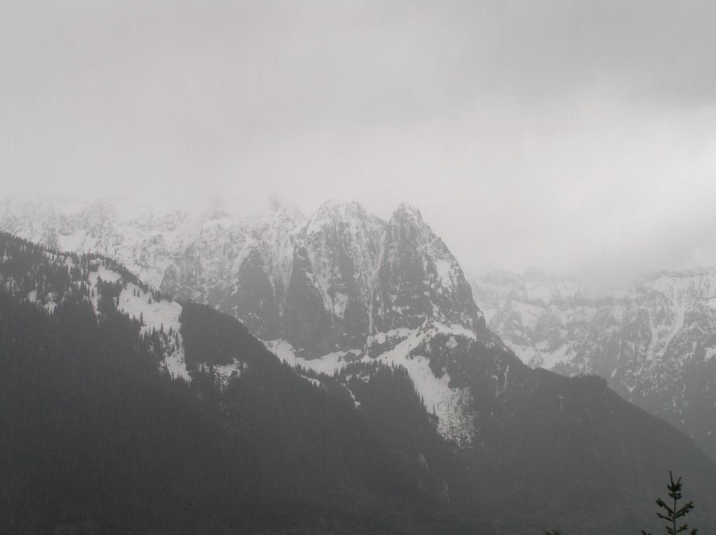
Mount Index and Persis shrouded in snow-bearing clouds

The Heybrook Lookout Tower hike is another one of those shorter hikes that is very accessible 365 days of the year. Though very popular, often on the weekdays you will not see a car at the highway-side trailhead . . . your clue that you can have the trail to yourself.

Heybrook Lookout overlooks the Skykomish River valley and southward into the Index/Proctor Creek Drainage (FS62). The trailhead is a mile or so east of the Index-Galena Road turnoff and the Espresso Chalet . . . a large gravelled pulloff on the north side of SR2 just as you pass the sign announcing your entering of the Mt Baker-Snoqualmie National Forest.

The trail is a short one and a half miles long, moderately steep under dense canopy until you reach a breakout on the ridge just below the line-of-sight clearcut for the lookout. During the summer fire season the lookout is manned by fire lookouts on the topmost level. During the off months the lookout is unoccupied. The level below the lookout cabin is open year-round for hikers to enjoy.

Coming out of the canopy on the ridge just below the lookout


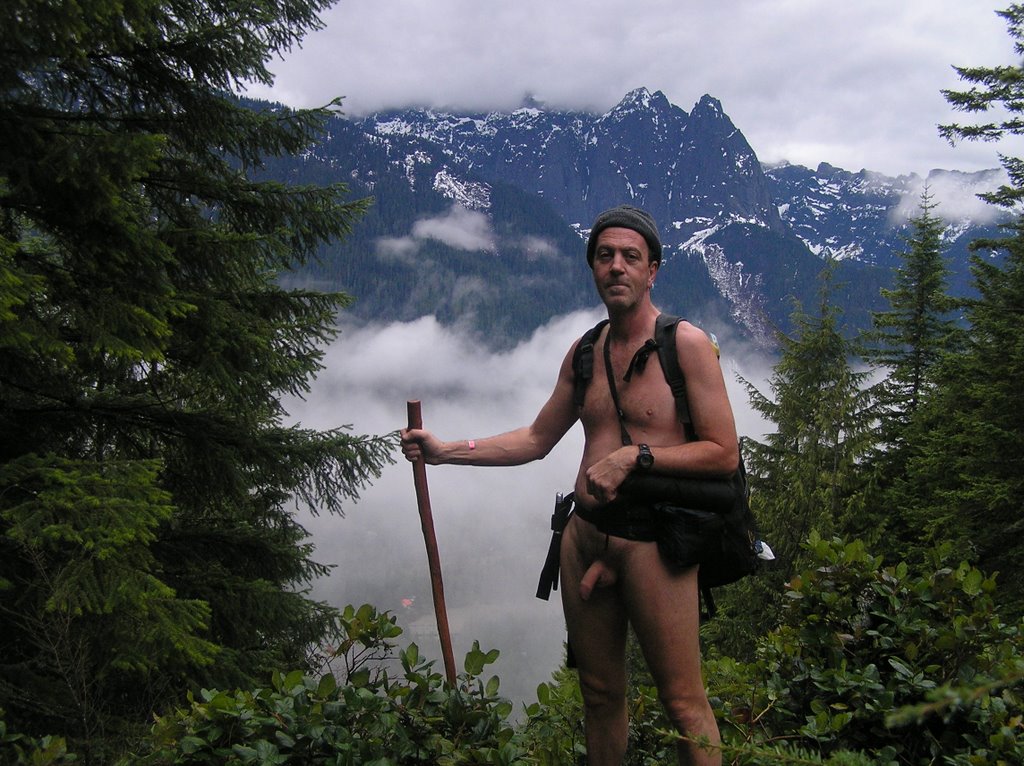
An image of the Lookout taken on a previous (nude) visit.


Enjoying a snack break and the panoramic views.

Standing way up there and surveying the mountains around you is a trip! Best of all, you can see the trail approaches down below with plenty of warning of approaching hikers. I like to linger and enjoy a sack lunch from my aerie. The only downside is that the cooler wind gusts can cool you down pretty quickly and there is scant cover up this high.

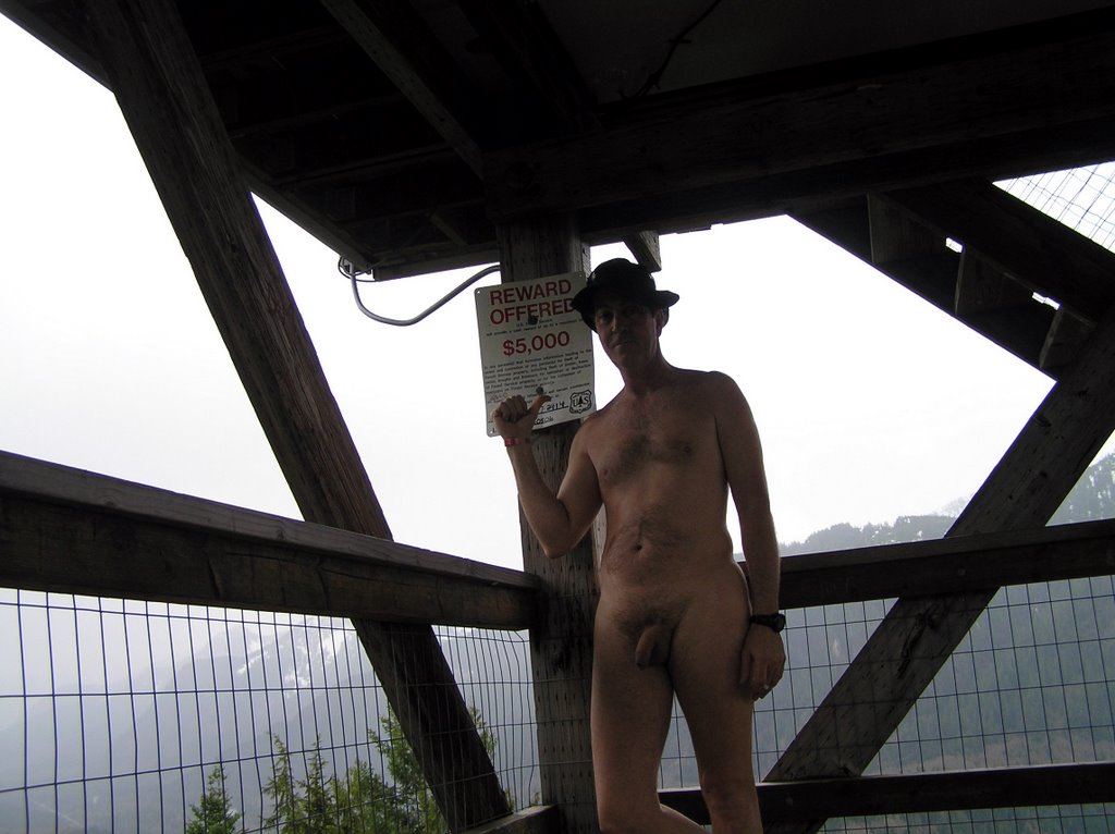
I wonder if they had me in mind with this reward poster?

Related Posts with Thumbnails