Labor Day started out promising in Seattle. Overcast but dry. No appointments . . . no lab tests . . . newspaper read. I felt like a hike. Question was, 'where'? I debated that question the whole drive in. All trailheads were bound to be popular on this last 'fling' day of summer. Still, I was hopeful I could find something short and different. That is, until I started seeing the long lines of vehicles returning from the east and the clouds obscuring the foothills near Monroe. Passing Sultan, then Startup . . . then Goldbar (with an unbroken line of cars doing 1-2 miles per hour in the other direction . . . the rain started. Hard! Was this a bad idea?
Of course, I'm committed now. Turn around and I'm just going to have to join that ten mile long back up of returning Labor Day weekenders. The question was still one of 'where'. The lower foothills and valleys were going to be miserable in this downpour. The reader board in Sultan proclaimed the temperature to be 53F. Okay . . . doable and it's been a long time since I've done a nude rain hike. The next question became, 'was my body ready for this?' I've been feeling the cold and that's very much unlike me . . . my metabolism usually able to switch into high gear as needed. Despite the heater going full and driving in teeshirt and my improvised hiking kilt (by the way, the clerk in the Sultan Chevron complimented me on the fit and look . . . I stop by there often for gas and coffee . . . and BBQd kielbasa on a stick for a snack. The bathrooms are also clean and convenient.), I still felt a chilblain down my back at the idea of stepping out nude into cold rain.
 42 degrees and dropping beyond the Cascade foothills
I watched that thermometer as I drove. Beyond Baring the downpour lessened as we started to gain elevation. Glancing at the raging Skykomish River that paced US 2, I knew that the lowland hikes were inappropriate. The rivers were getting close to flood stage and I've seen what a sudden flash flood can do . . . not a place for a hiker (let alone a naked one) to become trapped. But the higher trails appeared to show promise. No thunderheads, no wind . . . not lightening weather . . . and the peaks just might be above the worst of this. By the time I passed through Skykomish the rain was little more than misting with an occasional sprinkle. However, the thermometer was still falling. I had absurd visions of snow in the beginning of September! Two choices came to mind . . . Johnson Ridge or the Tonga Ridge, both high enough to bottle convergence zone weather in the valleys below. Left on the Beckler River Road . . . or right a half mile up on the Foss River Road (aka FS 68). I took the right . . . Tonga Ridge was closed due to road damage two years ago and I wanted to see if that had been repaired . . . and I remembered my long lost GeoCache in the vicinity and wanted to see if it was still there.
So Tonga Ridge it was; three miles on the paved Foss River Road continuing another eight on gravel of FS 68 forking left up onto FS 6830, the final mile right on FS 310 (a short stub road to the trailhead). All of it in good condition. The damaged section was between Mile one and two of FS 6830 . . . all repaired now.
Tonga Ridge is (was) a very popular trail. Especially popular because of the outstanding views of the Necklace Lakes in the middle of the Alpine Wilderness. It's short . . . a couple of miles with one through canopy and then the wide open views from the ridge below Mt Sawyer. It can also been accessed from the far end by determined hikers in the Deception Creek through trail by Fisher Lake . . . but not very often. You can pretty much assume it an in and out trail. I would never hike this trail nude on a weekend or holiday . . . too many families. But I was counting on the time of day and the weather to put a damper on trail companions. As I drove on up I encountered half a dozen cars headed back down. Maybe us PNWrs really are half amphibian. Despite the weather people were out hiking. Crazy ... Am I the only sane person around?
The Tonga Ridge Trail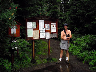 The Tonga Ridge Trail Head all to myself
The temperature actually rose a degree or two as I rose above most of the low clouds. Just a light sprinkle at the trail head that I quickly adapted to once I just said the heck with it and doffed the teeshirt. Then it was onto the trail. The first mile is through dense canopy . . . dreary stuff, especially the big fat drops that fell from the trees and pestered me. I warmed up quickly with the slight uphill exertion but kept the kilt on more out of laziness than anything else. Once on the open ridge I planned to freehike the few miles in and out.
 The Necklace Lakes beyond, shrouded in clouds
The trail is not in the greatest shape. Narrow tread to begin with, it is rutted and, at the moment, filled with slippery mud and standing rainfall. The route could use some trail work . . . I've worked a section of it before. However, I have the place to myself and serious doubts of anyone else bothering to head in. I found a good sheltered spot and stashed my pack and the rest of my clothes (i.e., kilt). There is a certain, defiant pleasure out of hiking on with nothing but shoes to protect the feet (and, of course, my Floppy Blue Hat). You've dropped almost all vestiges of civilization and can really, really soak in (figuratively, speaking) what you are experiencing.
The defiant part? Well, if I did encounter someone else on the trail I couldn't cover up if I wanted to . . . and that really adds to your own sense of self-confidence the first time that actually does happen. You have two choices . . . run and hide in embarrassment . . . or face the fact that you are nude and proud of it. It's very empowering to realize after some time of hiking like this that you can feel confident of yourself as a naturist.
 Near the Fisher Lakes cut-off trail
There was a lot of blowdown on the final mile near the well-hidden turnoff for the two Fisher Lakes. Though I was doing fine body-warmth-wise I wasn't in the mood for scrambling over and around downed trees blocking the trail. So . . . I headed back at a slow amble and extended my conscious senses to the different sensations my skin was feeling . . . the gentle mist wetting my skin, body heat turning an occasional shudder into a pleasant push through heavy and moist mountain air. It's at moments like this when I can (and have) been surprised by another trail user . . . so in-turned that my awareness is to the immediate bubble of surroundings around me. Fortunately I am not intruded upon in my revelry and eventually come out onto the wide-open grading of the trailhead and a car all of a sudden . . . mine. The moment is gone. Somewhere along the way I had the sense of mind to collect my pack and the all-important car keys. Now it is time to grab the towel on the back seat, dry off and warm up now that I'm no longer moving. A thermos of coffee awaits me in the front seat.
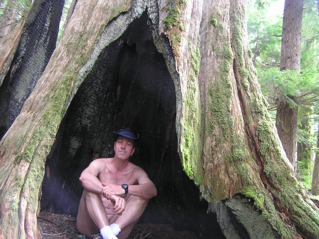
In Search of a lost GeoCache Parked outside of FS 6850, now reverted and undrivable
Several years ago I toyed with the idea of setting up a network of GeoCaches that naturists could go off in search of in the nude . . . another activity for nudists and one well suited to our love of the outdoors. At first, I posted these geocaches on the popular geocache sites for anyone to go off in search of . . . but I caught so much flack from a few ultra-conservative textile-impaireds that threatened to kill me if they ever saw me that I backed away and decided to keep these caches within the nudist community.
I planted a number of them and collaborated with a friend up at LARC who was also into finding geocaches in the nude. To date I've secreted close to a dozen caches of my own and cataloged another 50 or so in the Cascades that are amenable to searching for them au' natural. All but one of my caches have been found, given the coordinates . . . and the finders (both nudist and textiles) have reported fun and the challenge of finding them. They still exist and remain in good condition for the next cache-hunter . . . all but one.
The
Foss River geocache was a double-blind puzzle cache. Coordinates by themselves were not enough. You had to solve clues that took you all over the mountainside and prove your compass-reading skills in order to find this cache. I wanted to see if it was still there and in good condition.
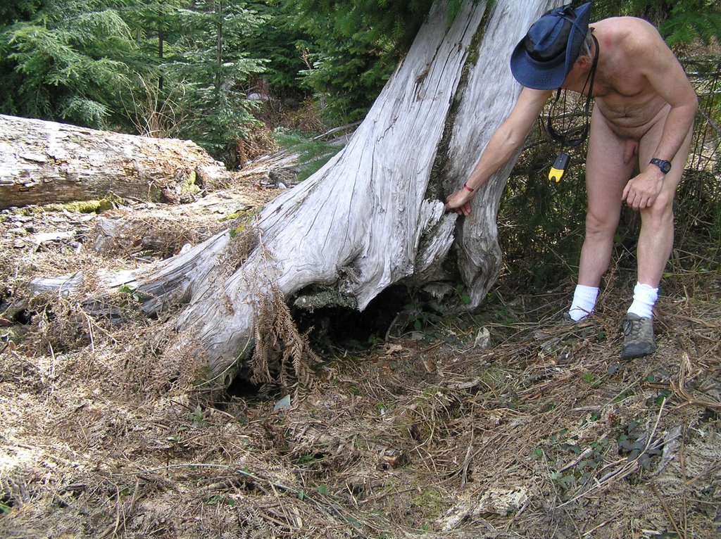
 A new creek bed
The cache is located somewhere along FS 6850 (sorry, ain't spilling secrets that easily). I used to be able to drive all the way to the top of this abandoned logging road but weather has taken its' toll. 100ft in, the concrete spillway and culvert have been blown. The roadbed is now a new creek bed . . . and with the rain we've been getting the past few days boots would have been a better choice that breathable hiking shoes.
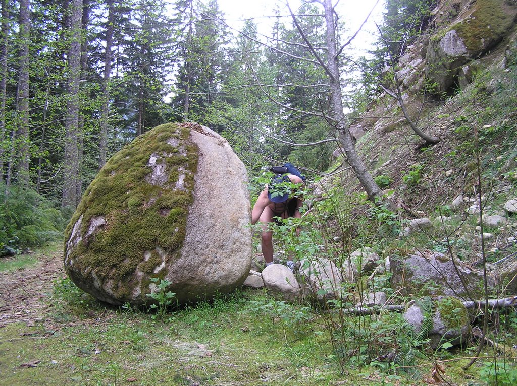
 A fairly recent road cut
Gingerly walking through a stream, trying to keep my socks dry, was impossible. Then I encountered a series of fallen trees and a recent collapse of the roadbed from a new creek where there wasn't one before. Scrambling through that morass of stuff my shoe snagged a long wild trailing blackberry stem(
(rubus ursinus) aka: blood sweat and tears, vegetable barbed wire). Before I could check myself those sharp barbs had managed to wrap, tighten, then cinch and saw themselves above the right knee to leave a score of nasty cuts. Enough!!! The cache can wait for better weather. I headed back to my clothes and the first aid pack . . . just long, stinging scratches but they were bleeders. Speak of Banged Up Shins . . . now Banged Up Thighs? It was getting late in the day, anyway.
A Pleasant Discovery . . . a River-side Campground
 Never knew this place existed
The boss (my better half) called me the second my cell phone came into tower range. I wonder how she does that. Anyway, I pulled over on FS 68 at the junction of what I thought was a maintenance road for the railway. Unsigned, you see a lot of them . . . much too numerous to explore all of them. Coffee and French bread . . . we're having spaghetti and I'd better get my butt on home. Of course I ignore that idle threat half the time and she knows that I will. Just a gentle reminder for me not to get so tied up in the outdoors that I go off on another excursion not planned and noted on the refrigerator door.
Well, here's one excursion. That dirt road has me wondering now. Too far down from the Foss River Loop of the railway trestle bridge. We all do it from time to time. Us nudists simply do not want to have to give up nude time and be forced to don some clothes to drive home. There's got to be something interesting up that road . . . if for no other reason than to see where it goes. And a great excuse to hold off putting clothes on just yet.
For the most part it is simply a narrow dirt road through the forest. Wet and muddy with too many potholes. If I'd had the presence of mind I would have noted the direction (east) I was going, to surmise exactly what river the road paralleled. It wasn't till later that I figured out I was on the south side of the Skykomish. Another clue might have been a few cars I saw flashing by in the distance on Hwy 2 through trees on the other side.
Okay. Interesting. And then the campground right next to a bend in the river . . . complete with a little waterfall. Though the campground is wide open to the road it is still secluded enough that I could imagine myself setting up a tent there and enjoying some nude time. High enough to avoid flooding, the area is picturesque, groomed flat and complete with picnic tables, benches and fire rings. It does get used but not right now. Cataloged for future reference. Time to quit thinking only of myself and get my butt home. Spaghetti is a favorite.
 On the south bank of the upper Skykomish/Tye Rivers


 42 degrees and dropping beyond the Cascade foothills
 The Tonga Ridge Trail Head all to myself
 The Necklace Lakes beyond, shrouded in clouds
 Near the Fisher Lakes cut-off trail
 Parked outside of FS 6850, now reverted and undrivable
 A new creek bed
 A fairly recent road cut
 Never knew this place existed
 On the south bank of the upper Skykomish/Tye Rivers
 For this nudist hiker, the Wild Sky Wilderness area has been one of my favorite places to head. The area is reasonably accessible and closer to Seattle than the more traditional trails of the Stevens Pass and Snoqualmie Pass areas, the area is at a lower elevation giving me more opportunities to hike nude for the better part of the year, and much of the area is unknown or ignorned by many hikers. The area offers a lot of solitude and plenty of places to explore au'natural.