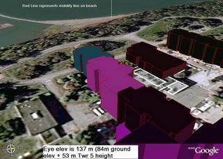
The towers sit above the bluffs at an elevation of 84 metres. The towers are 53 metres high so setting the 'eye-level' to 137 metres and sighting on Wreck Beach, I drew a line where the sands of the beach are first visible in the image. The line was clamped to the elevation of the terrain it was drawn on . . . in this case, the elevation of the beach.
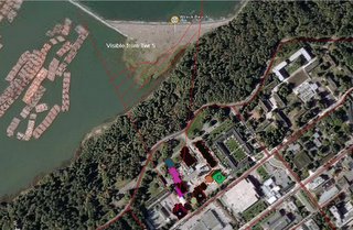
Rotating the Google Earth image to vertical, you can see where this line depicts on the beach. That behind it is not visible from the tower; that beyond it IS VISIBLE from the upper floors of the tower.
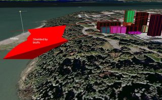
Looking at it in profile (from the side), the exposed and visible portion of the beach is graphically shown.

 The towers sit above the bluffs at an elevation of 84 metres. The towers are 53 metres high so setting the 'eye-level' to 137 metres and sighting on Wreck Beach, I drew a line where the sands of the beach are first visible in the image. The line was clamped to the elevation of the terrain it was drawn on . . . in this case, the elevation of the beach.
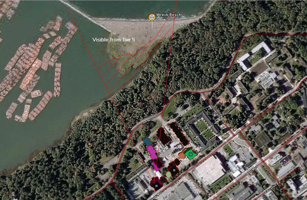 Rotating the Google Earth image to vertical, you can see where this line depicts on the beach. That behind it is not visible from the tower; that beyond it IS VISIBLE from the upper floors of the tower.
 Looking at it in profile (from the side), the exposed and visible portion of the beach is graphically shown.


|