
Proctor Creek Drainage: FS 62 Logging Road
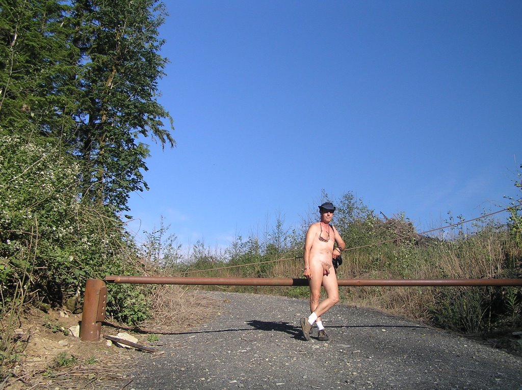 At the gated logging road prior to my July the 4th hike
July the 4th is always a bad time to hit the popular trails to hike nude. It seems the half the population of Seattle is out there so . . . time to find an alternative location, as I'm always wont to do. I'd driven the Proctor Creek Drainage that the northern segment of FS62 does through privately-held timber lands south of Goldbar, Index and Baring. Initially the area remided me more of an alien landscape with all the clearcutting that had gone on. But on subsequent forays into the area it was hard to ignore all the gated logging roads that lead off of the main road and up into some interesting-looking areas. The closer to the beginning of FS62, the older the clear-cut areas seem to be. One such logging road leads into a logged out area on the northern low flanks of Mt Persis. No activity, the gate locked and minor, unremoved blowdown on the logging road leading in. Easy pulloff to park just outside. I stripped at the car and started a hike in, determined to get an idea of how far this logging road went. The sun was out bright, a few clouds in the sky. Off I went up the logging road, soon out of sight of FS62.
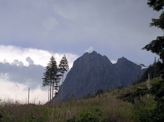
Initially the road didn't seem much of anything so I became more interested in the stubble of the wide clear-cut and an interesting rock formation in the center.
 An interesting rock formation. Mt Index is visible in the background
Kind of a silly thing to do when you are naked. The clear-cut was a mass of deadfall and brambles. Try as I could, I did not suceed in making much progress through that stuff and instead managed to scratch up my already bangedupshins even more. I headed back to the logging road. Once back it was an easy amble in the full sunlight.
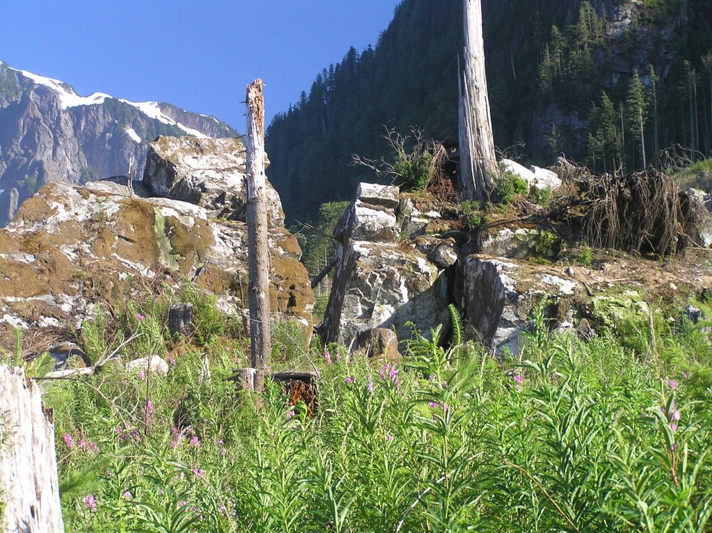
The road curved toward the east and then again to the south, starting a stiff grade. Now I was viewing the clearcut from the far side. The higher I hiked and more expansive the views of both the north and south forks of the Skykomish River to the north. Looking through my binoculars I could make out people enjoying a walk along the sandbars of the river, and a few white-water rafters making their way down the river from Index.
 The combined Skykomish River west of Index. You can just make out several rafts and kayaks in the river
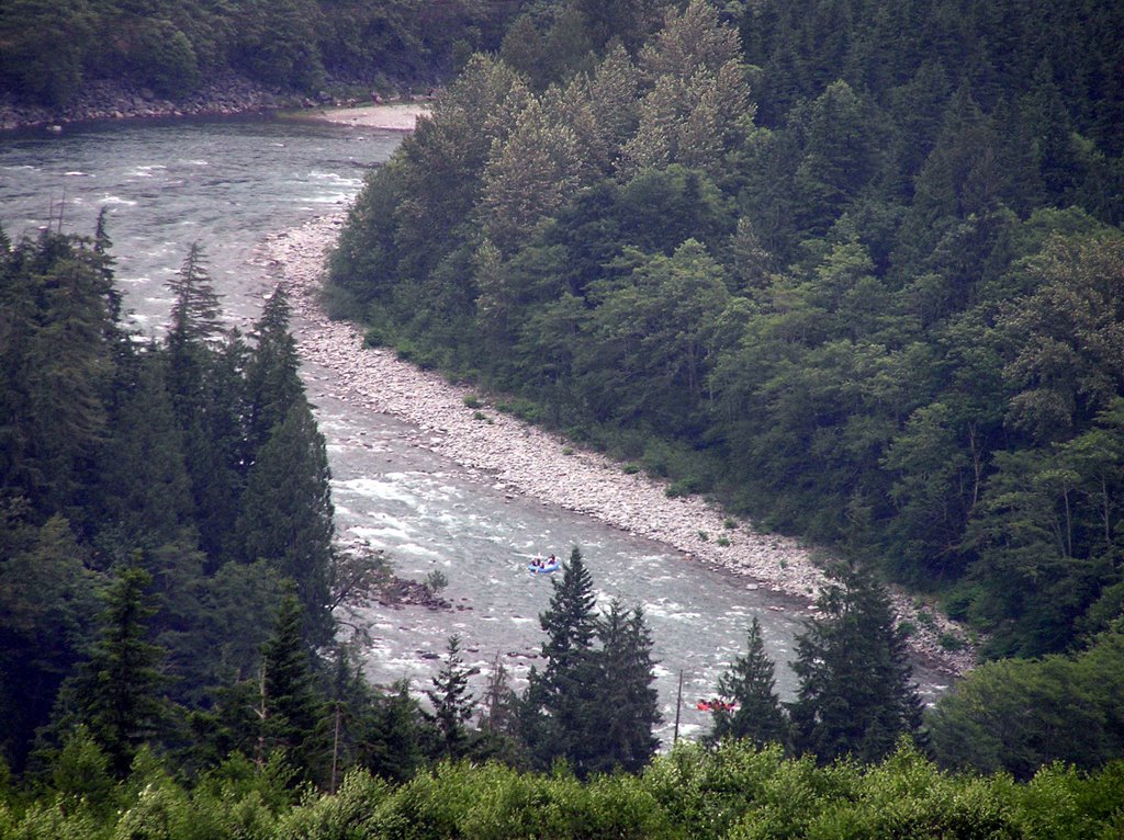
I was about this time that the first drops started falling and the sun became occluded by fast moving thunderclouds. Well, I'd made it about two miles and yet the road continued on. Looking up at Mt Persis (and Mt Index just behind it) the road obviously continued far up those slopes into some forbidding terrain.
 Fast-moving thuderclouds appearing over Mt Index
Unfortunately, the winds were picking up and the thunderclaps ominously close and loud. I started a slow amble back to my car, taking my time. This road was worthy of a longer hike in the future. I made it back to the car well before the downpour let loose.
Initially the road didn't seem much of anything so I became more interested in the stubble of the wide clear-cut and an interesting rock formation in the center.
 An interesting rock formation. Mt Index is visible in the background
Kind of a silly thing to do when you are naked. The clear-cut was a mass of deadfall and brambles. Try as I could, I did not suceed in making much progress through that stuff and instead managed to scratch up my already bangedupshins even more. I headed back to the logging road. Once back it was an easy amble in the full sunlight.
The road curved toward the east and then again to the south, starting a stiff grade. Now I was viewing the clearcut from the far side. The higher I hiked and more expansive the views of both the north and south forks of the Skykomish River to the north. Looking through my binoculars I could make out people enjoying a walk along the sandbars of the river, and a few white-water rafters making their way down the river from Index.
 The combined Skykomish River west of Index. You can just make out several rafts and kayaks in the river
I was about this time that the first drops started falling and the sun became occluded by fast moving thunderclouds. Well, I'd made it about two miles and yet the road continued on. Looking up at Mt Persis (and Mt Index just behind it) the road obviously continued far up those slopes into some forbidding terrain.
 Fast-moving thuderclouds appearing over Mt Index
Unfortunately, the winds were picking up and the thunderclaps ominously close and loud. I started a slow amble back to my car, taking my time. This road was worthy of a longer hike in the future. I made it back to the car well before the downpour let loose.
 Taking my time getting dressed by the side of FS 62 after my thoroughly enjoyable hike
Tags:


|